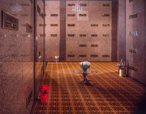
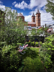
The photos below are on display at the AIA Pittsburgh Office in large, 32" x 40" frames.
Pittsburgh’s neighborhood development seems like the discomfort of an arranged marriage between its steep topography and the need of its earliest inhabitants to build on it. It is common to find streets with nearly 30-degree slopes or multiple hairpin curves that wind down the hills and through the city neighborhoods.


Today, streets traverse the steep slopes that were once trails. Homes were precariously built into the hillsides. Many homes butt shoulder to shoulder and run parallel to and down the slopes. Neighborhoods developed within tight niches partly due to the difficulty of just getting around. I am intrigued by this, what seems to be the haphazard planning by our forefathers of the neighborhoods of Pittsburgh, like the arranged marriage that, though unclear how, promised a better future.

When photographing Pittsburgh’s neighborhoods, I look for views that connect to Pittsburgh’s downtown and urban centers. The juxtaposition of the rugged topography and the sparkling city beyond is a composition that not only captures my creative interest, but is a point of view that perhaps helps to explain the urban planning and growth of the Steel City. Nonetheless, this “marriage” of the old and new provides unending opportunities to capture the beauty of Pittsburgh and its neighborhoods.


